OVERVIEW
This guide will take you through the steps to exporting your Map Viewer from DroneDeploy and uploading to your Vault asset.
HOW TO USE IT
Export your Map Viewer Model from DroneDeploy
Login to DroneDeploy and locate your Project.
Select MODEL at the bottom of the map, move Point Cloud slider to be 'OFF'
Hit Export button at the bottom. Now you need to set up the export by selecting the following:
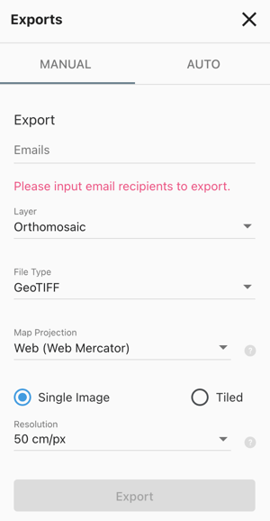 Email: The recipient you want to send it to (who will be uploading to Vault)
- Layer: Orthomosaic
- File Type: Geo TIFF
- Map Projection: Web (web Mercator)
- Select Single Image radio button
- Select Max Available (0.75 cm/px)
After you’ve created the export, check it’s not over 1GB as Mapbox has trouble processing above this size. You’ll need to reduce the resolution if it’s too big, generally up to 500MB is processable.
Select export and the file will be emailed to the above recipient.
Save the file into the desired location and unzip the folder. Rename it to something relating to the asset (they are always named points.las)
Zip/Compress the file for delivery to the Vault Support team. They will then upload it to the Azure Blob Storage and provide you back a SAS token.
Upload Orthomosaic Map Viewer in Vault
First, create the Map Viewer App
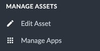
Manage Apps > Add application > Map Viewer
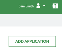
Complete the fields as follows and then click 'Create':
Name: Ideally 'Site Map' and click 'Create'
You will then need to go to the App itself in the left-hand menu, and paste the SAS token URL for the GeoTIFF into the field.
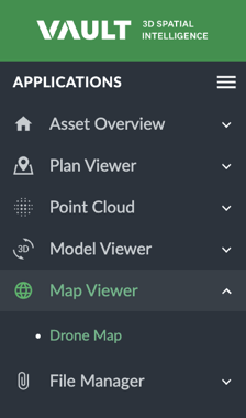
To upload the next Orthomosaic image, you need to select the top button in the right-hand top corner (over by the Help/Support button).
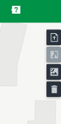 The second button in this graphic enables you to compare two images, then third overlays the Satellite imagery rather than the straight grey map.